


See what we've been up to lately with all the latest news articles relating to Vision Survey.
READ MORE
We are always on the lookout for passionate individuals who want to pursue a career with our rapidly expanding company.
READ MORE
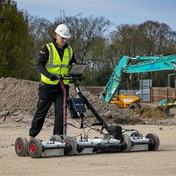
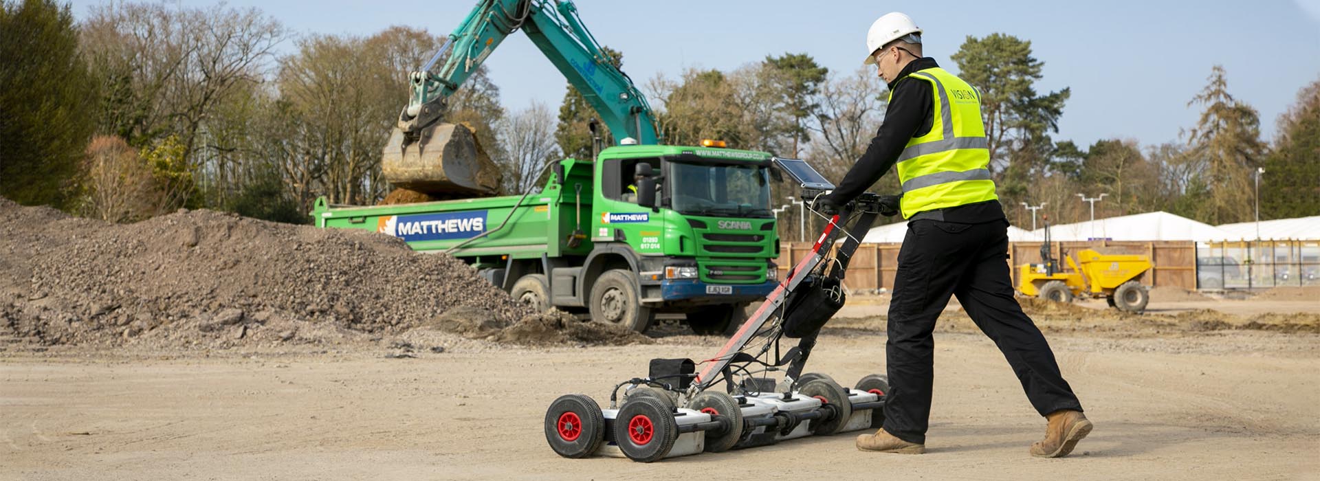
Find out about the projects we have been involved with. Whether it is a small, medium or large project, size doesn’t matter: Vision has the solution.
READ MORE